


Overview
- Plots & Lands
- (0.1428Ha)
Description
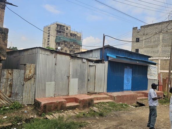
The property is situated in Manyata Area of the former Embakasi ranching scheme, about 400Ms
due West of Manyatta Primary School or 2kms off Kangundo Road deviating at ‘Stage 10’ in Ruai
Ward, Kasarani Sub-County in Nairobi County. GPS Co-ordinates: 1°17’35.9”S 37°01’06.0”E Google
Link: https://maps.app.goo.gl/MVs5PP1S62zDF3VT9
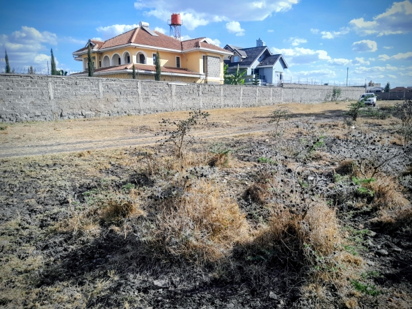
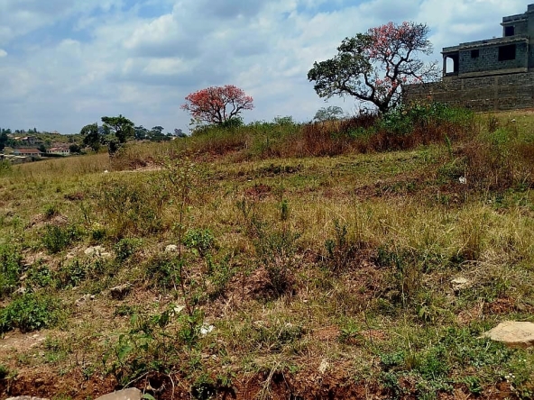
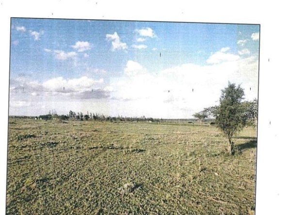
A rectangular shaped fairly level black cotton soils plot whose boundaries are marked by chain-
link wires fencing and kei apple hedges, partly dotted with exotic trees. The plot is generally under subsistence cultivation of left bare
Address
Open on Google Maps- Address Nairobi, Nairobi County, Kenya
- City Nairobi
- Country Kenya
Details
Updated on October 29, 2025 at 3:56 pm- Price: KES 4,800,000
- Property Size: (0.1428Ha) sqft
- Property Type: Plots & Lands
- Property Status: For Sale
Mortgage Calculator
Monthly
- Down Payment
- Loan Amount
- Monthly Mortgage Payment
- Property Tax
- Home Insurance
- PMI
- Monthly HOA Fees
Schedule a Tour
What's Nearby?
Powered by Yelp
Please supply your API key Click Here